Your guide for non-motorized routes and outdoor fun in Bay, Midland, and Saginaw counties in the state of Michigan!
- An interactive guide outlining important trail information and resources available at each trail location is available here.
- Interactive park locator maps detailing various areas of interest along the Tri-county Trails are also available:
The Trailways Mapping Project
 This trailways mapping project was made possible by the Saginaw Bay Watershed Initiative Network (WIN) in cooperation with the Bay Area Community Foundation, Midland Area Community Foundation, and Saginaw Community Foundation.
WIN is a volunteer organization that includes more than 90 citizens and focuses on opportunities to better link the economic, social, and environmental well-being of Saginaw Bay communities in order to sustain and improve the region's quality of life. Twelve foundations, including those previously noted above, have come together to support his and other WIN projects, that improve quality of life in the Saginaw Bay watershed. More information about WIN is available on its website at www.saginawbaywin.org.
The Environment Committee of the Bay Area Community Foundation promotes environmental awareness and stewardship to improve our quality of life now and for future generations.
The Midland Area Community Foundation enables community-wide philanthropic giving to enrich and improve the lives of residents throughout the greater Midland County area.
The Saginaw Community Foundation's mission is to enrich the quality of life for all the people of Saginaw County by serving as a community leader and a resource for philanthropy, supporting a broad range of program, and by building permanent endowments.
This project was administered by the Bay County Department of Environmental Affairs and Community Development through the Geographic Information System (GIS) Division.
Jonathan Jarosz, Bay County GIS Intern was responsible for community contact, data collection, GPS field work, and final compilation of GIS data. Jonathan's diligent efforts were instrumental in the completion of this project.
Cartographic and design layout performed by Michigan State University, Center for Remote Sensing and GIS.
Trail Etiquette
 Have Fun! Be considerate! Think safety!
- Share the trail with other non-motorized users.
- Always travel at a safe speed.
- Stay right, except to pass. Use bell or voice when passing.
- Yield to oncoming and slower traffic.
- Watch for traffic. Observe all signs.
- Yield or stop at crossings.
- Please help keep your trails clean.
- Stay on the trail. Respect property owners' right to privacy and quiet.
- Enjoy public rest areas and parks!
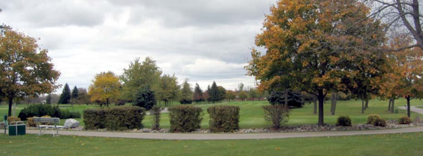
Trails and Greenways
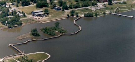
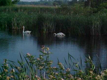 Greenways are corridors of protected open space managed for recreation or conservation purposes. While this guide outlines the existing trails in the tri-county region, it is important to note that some greenways include trails, while others do not. Some appeal to people, while other attract wildlife. Greenways often follow natural land or water features, and link nature reserves, parks, cultural features, and historic sites with each other and with populated areas. A regional approach to inventory and planning of future greenways will help to ensure continuity and will help link our communities with their green infrastructure.
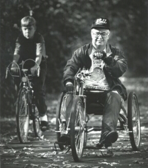
Trails and greenways are very valuable to communities. Along with providing safe close-to-home recreation opportunities and convenient and scenic transportation routes, trails and greenways can have environmental, social, and economic benefits as well. Our natural resources and wildlife habitats are enhanced as we link and preserve the precious open spaces in our region. The presence of trails can improve the physical health and fitness of trail users and help instill community pride. Our existing trails have already given neighbors a chance to get out of their homes and cars, and get to know one another, and gain a better understanding of the local culture and community character.
Trails and greenways have the potential to enhance property values, expand local businesses, attract new or relocating businesses, increase local tax revenues, create jobs, decrease local government expenditures, and promote a local community for tourism.
The Saginaw Bay Greenways Collaborative
As a means of building awareness about the value of greenways, the Saginaw Bay Watershed Initiative Network formed the Saginaw Bay Greenways Collaborative in 1999. The mission of the Collaborative is to develop a tri-county greenways vision that connects our communities to the area's natural and cultural amenities for the benefits of recreation, transportation, education, health, and well-being of its citizens. The Collaborative plans to engage interested agencies, organizations, and municipalities in identifying additional greenways opportunities in their community. Identification of existing trails was the first step in this greenways planning process. More information about the Collaborative is available on its website at www.saginawbaygreenways.org.
Acknowledgements
Special thanks for the cooperation and assistance of equipment, data, staff, and technical expertise of the following organizations:
- Bay County Environmental Health
- Midland County Parks and Recreation
- Saginaw County Metropolitan Planning Commission
- Saginaw County Parks and Recreation
- Little Forks Conservancy
- Saginaw Basin Land Conservancy
- Ducks Unlimited/Great Lakes Atlantic Regional Office
- National Park Service/Rivers/Trails
- Conservation Assistance Program
Cartographic and design layout performed by Michigan State University, Center for Remote Sensing, and GIS.
Links and Resources
Bay County
Midland County
Saginaw County