Bay County/Bay City join presentation on new GIS Web Viewer
 For Immediate Release
BAY CITY, Mich., April 1, 2016 - After almost a year of planning and collaboration, Bay County and the City of Bay City will officially rollout the new Geographic Information System (GIS) web viewer platform during a public presentation in the Bay County Board of Commission Chambers on April 12th at 5 p.m. This presentation will also serve as an official recognition of the County and City working together in a joint partnership. County and City GIS staff will be on hand for the presentation to answer questions and highlight the capabilities of the new GIS viewer.
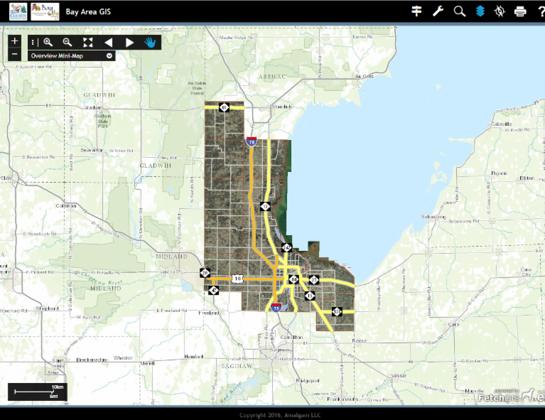
The GIS web viewer is a computerized mapping system that also contains a large database of information about the areas mapped. Examples include water well locations, FEMA flood plain boundaries, current tax parcels, as well as soils, aerial photographs, wetlands, and a variety of other information. "This is a terrific opportunity to showcase how local governments can work together and improve services for area residents," said Tom Hickner. CityManager Finn echoes the County Executive’s thoughts saying, “the City is veryexcited to have partnered with the County to offer this new improved service tothe residents and potential land owners through the City; a one stop shop forpersons seeking property data. This isthe beginning of what we believe will be a long-term partnership between theCounty and the City.”
The new online resource will be a valuable tool to provide better GIS services to the citizens of Bay County and Bay City as well as coordination with outside agencies like the Bay County Road Commission. Many local businesses and government agencies also rely on our GIS web viewers.
###